Road Network Operations
& Intelligent Transport Systems
A guide for practitioners!

Road Network Operations
& Intelligent Transport Systems
A guide for practitioners!
There are many global trends that are likely to stimulate innovation and the adoption of new technologies, systems, applications and information chains in the monitoring of road networks. Some of the technological, application and organisational elements of the future of road network monitoring are already being implemented, although their use is not widespread. Innovations in wireless communications, the increasing use of smart phones and advances in automotive design are having an impact. For example, consumer “smart phones” are used to informing road users of changing conditions – and vehicle sensors are used to detect incidents. (See ITS Futures)
The deployment of more sensors allows Traffic Control Centres (TCC) to benefit from more up to date and detailed view of traffic conditions - complementing static detectors and CCTV cameras. High availability, high bandwidth, standards-compliant, fixed and wireless communication networks are increasingly used on busy urban and interurban highways to support multiple services.
Traditionally, intelligent transport systems have been biased towards infrastructure-based or vehicle-based applications - often led by government and vehicle manufacturers. Recent innovations in mobile phones - such as navigation, imaging and multiple short-range communication radio modules - are being integrated into lower cost phones. They provide users with technologies that can sense some characteristic of their local environment and interact with it. This is one of the most important elements of road network monitoring applications.
The Vehicle-to-Infrastructure (V2I) initiatives that are active in the US, Europe and Japan provide the potential for all vehicles to perform probe functions for private sector service providers and public traffic management authorities. The challenge will be dealing with all of this information, captured over an ever larger area. Innovations in visualisation tools such as Artificial Intelligence (AI) and Knowledge-Based Expert Systems (KBEST) are already being commercialised and provide increasingly valuable assistance to TCC staff in monitoring the state of the network – whatever the source of the data.
The combination of Vehicle to Vehicle (V2V) and Vehicle to Infrastructure (V2I) means that road users will be able to share their own sensor data (such as speed, grip, surface temperature or queuing) with a centralised computer facility for interpretation or direct transmission to other vehicles. A vehicle without sensors may still be able to transmit road condition status gathered through in-vehicle monitoring – based on simple indicators such as use of fog lamps to indicate fog and extended use of windscreen wipers to indicate heavy rain. Data collated from enough vehicles (with or without sensors) could enable an accurate picture to be produced of flow rates, speed and driving conditions.
Stakeholders in traffic data collection include:
New opportunities for road traffic data capture and consumption between road users emphasise the need for cooperation between organisations on data sharing. (See Other Sources) A structured model for traffic data collection and interpretation - where the interfaces and responsibilities are well-defined - is being supplemented by new sources of data and analysis exchanged between users and third parties, where the TCC has little or no influence on the quality of data or its use.
Social network messaging and navigation service providers already provide real-time traffic data to road users, specific to the user’s location, based on crowd-sourced data. These sources can improve the effectiveness of a traffic and incident management operation, at a lower cost than direct investment in measurement systems. This is particularly useful for a road operator:
Whilst crowd-sourced data can provide real-time traffic information at low cost - the level of detail depends on the density of numbers of mobile sensors. Less information will be provided during off-peak periods and where the proportion of the crowd that provides useful data is low. Road operators also need to be aware that the algorithms developed by third parties to meet commercial objectives may not be consistent with the approaches required for traffic management or for incident detection.
The road operator needs to bear in mind that it has a responsibility to all road users - not only those that have access to advanced mobile phones or vehicles equipped with on-board sensors.
Static roadside sensors are becoming more accurate and are available at lower cost. Improved methods of planning are being developed to make best use of available budgets. They recognise that the purpose of any detection scheme – and the reliability of individual detectors – will influence decisions on where detectors are deployed. For example, the optimal planning strategy for journey time monitoring would require detectors to be distributed widely - whereas flow measurement would demand a greater concentration of detectors to ensure sufficient coverage with some redundancy (to provide resilience in the event of equipment failure).
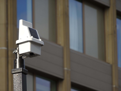
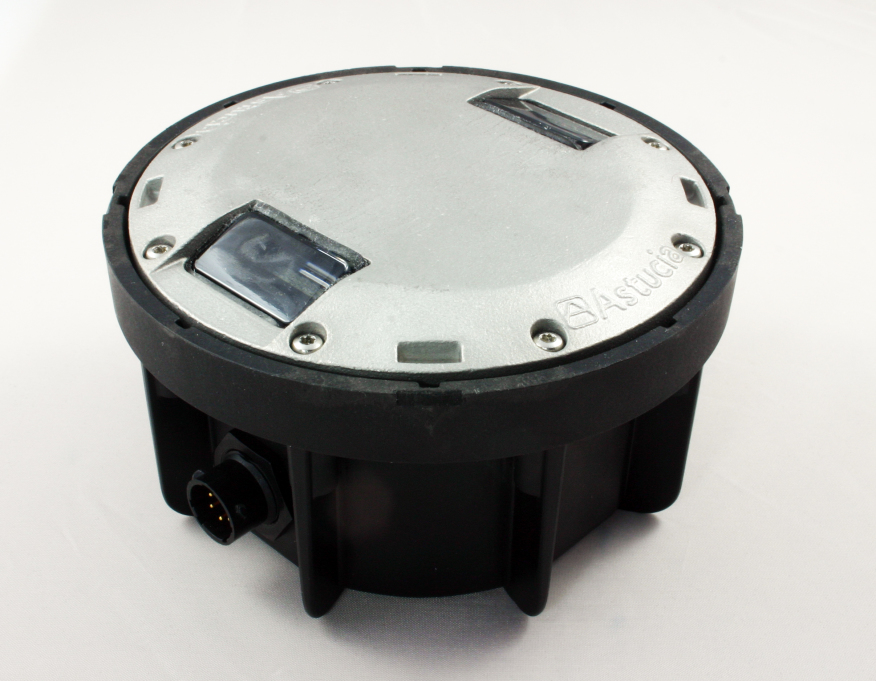
The investment in deploying new sensor networks is driving the development of combined sensors. For instance:
Transferring information from these types of devices requires some form of low power communications and development of Mobile Ad-hoc Networks (MANETS). This will enable sensors to transfer data between themselves over short distances and to fixed roadside data receivers. In dense urban environments, a network of vehicle or environment sensors can be installed cost effectively.
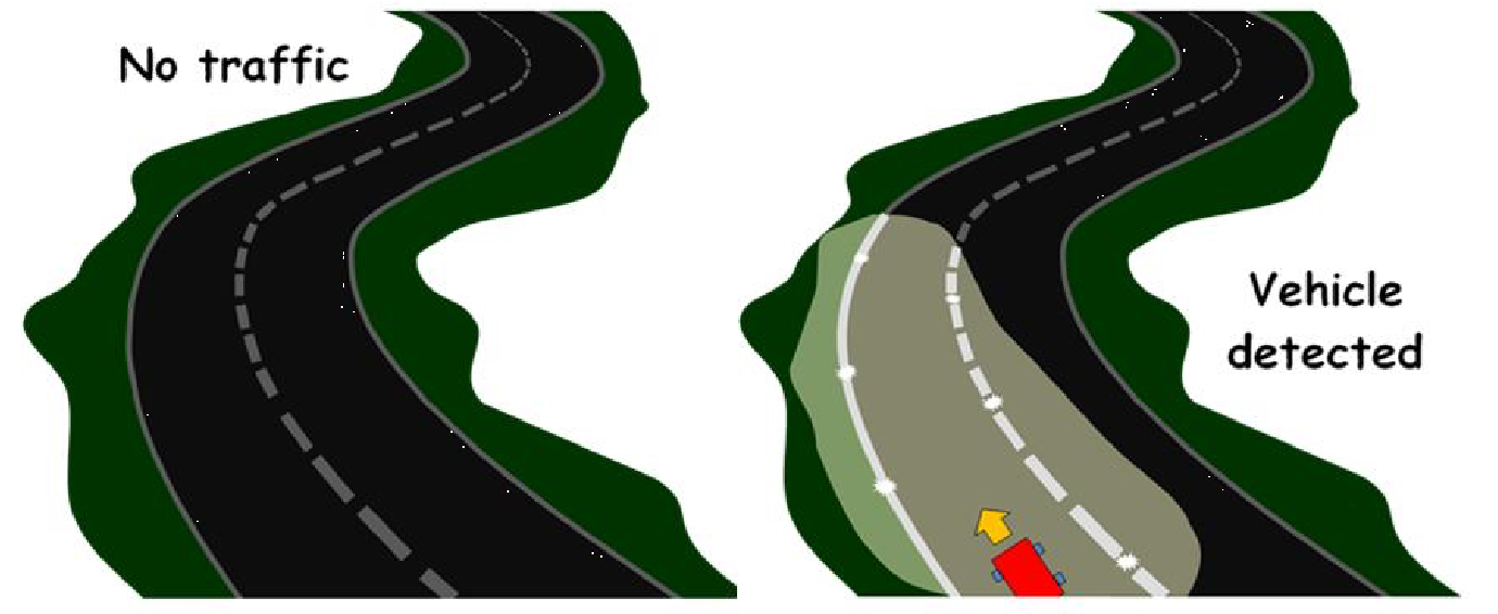
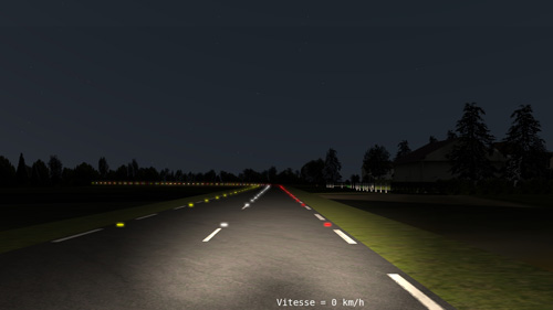
Extending this further into the future, combining MANETS with miniature sensors and some means of ‘harvesting’ energy from the environment may result, one day, in ‘smart dust’. This is an emerging technology comprising a system of tiny Micro-Electromechanical Systems (MEMS) that can detect light, vibration, temperature, magnetism or chemicals. In the future they be embedded in materials such as the white paint used to indicate traffic lanes.
These types of pervasive sensing and communication (via fixed roadside wireless receivers) can further improve the visibility that the Traffic Control Centre (TCC) has of local traffic conditions.


The increasing variety and geographic coverage of static and mobile sensors presents TCCs with major challenges in interpreting data and making rapid decisions on the appropriate response. This is particularly the case when traffic conditions change quickly because of an incident. Artificial Intelligence (AI) is already being trialled to optimise traffic signal timings, to make better use of available road capacity and to reduce the environmental impact of traffic. (See Intelligence in Transport)
Knowledge-based Expert Systems are able to maintain reference models of normal traffic conditions anywhere on the road network and can provide immediate recommendations on alternative traffic plans in the event of an incident. These are being trialled in London and are planned to be used in Hong Kong as part of its Traffic & Incident Management (TIM) System (See PDF 3202 Case Study Traffic & Information Management (TIM) System, Transport Department (Hong Kong))
Other trends include: